I’ve been looking at the airports around the Coromandel again, particularly since I land at Whitianga and Thames a lot with Flight Simulator Economy.
One thing that has always annoyed me is the hard cut that occurs when rivers hit the sea.
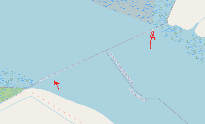
If you have the current release of my ortho go to NZTH and look closely at the mouth of the river. It’s actually an OSM error with a couple of sharp triangles of land extending out into the water. I should have taken a screenshot before fixing it. You can barely see the white land on Open Street Maps:
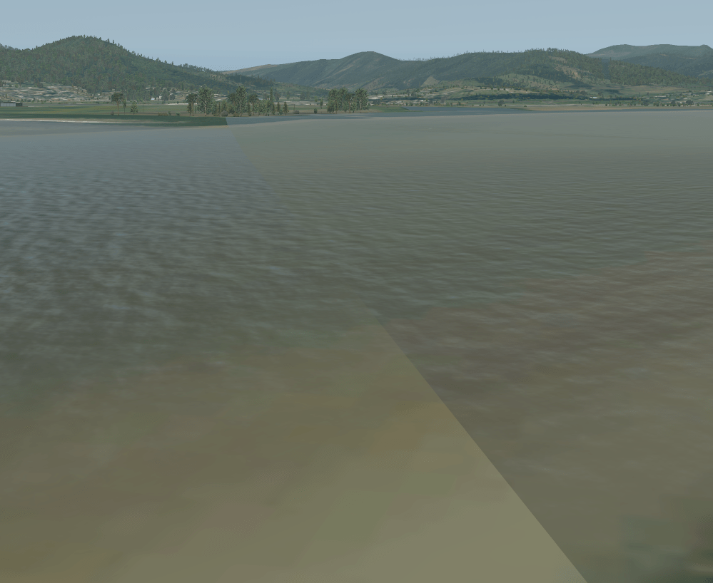
This has led to X-Plane showing a strip of land about 1m wide with a slope on it. I went on OSM and edited it. Hopefully I didn’t break anything else.
The weird strip of land is now gone:
You can unfortunately still see where the river ends and the coastline ortho masking takes over and blends into the sea. If anyone has any ideas of how to fix this, I’d love to know. I can never get the colour exactly the same, but it’s close enough.
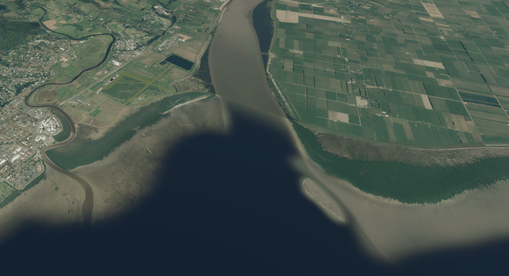
I’ve also extended the coastal mask, which added the mangroves into view.
Finally, I’ve edited the Open Street Maps data to make the ponds around Thames Airport appear as water. I’ve then unmasked them:
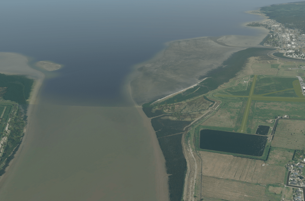
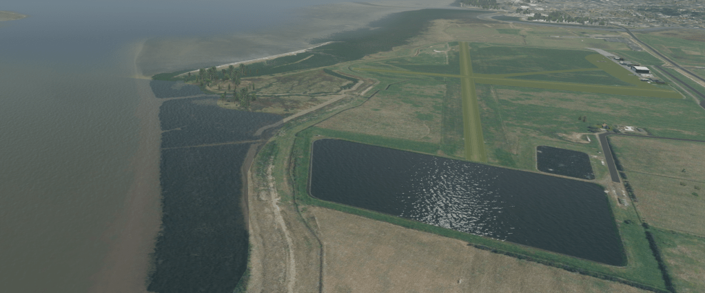
You can now happily splonk into the pond if you land short, or abort takeoff too late. For some reason the smaller one isn’t water, but I’m a bit over bothering with that now!
Categories: Flight Simulation
 New airport: NZKM Karamea
  Planting seeds
  Landing now: Lyndiman NZ Ortho 2025 is now available.
  Sounds like a good idea
Comment on this here!