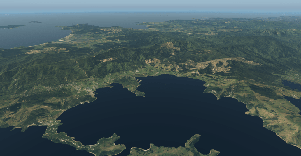
Another area of focus has been to improve some of the harbours that have airports.
Currently in X-Plane these are often masked out and become deep blue sea straight off the shoreline. The new scenery will improve this in areas. The masking is much higher resolution, and I’m looking at which rivers and harbours have airports, should have ortho under the water to show what it really looks like. So far I’ve focussed on the immediate area around Auckland Intl, Wellington, and then also the Coromandel (Whitianga & Pauanui) and Raglan. I’ve added in Tauranga’s immediate harbour to the south of the airport, and some waters near Whakatane and Hawke’s Bay Airport.
Take a look:
Coromandel Airstrip – Before
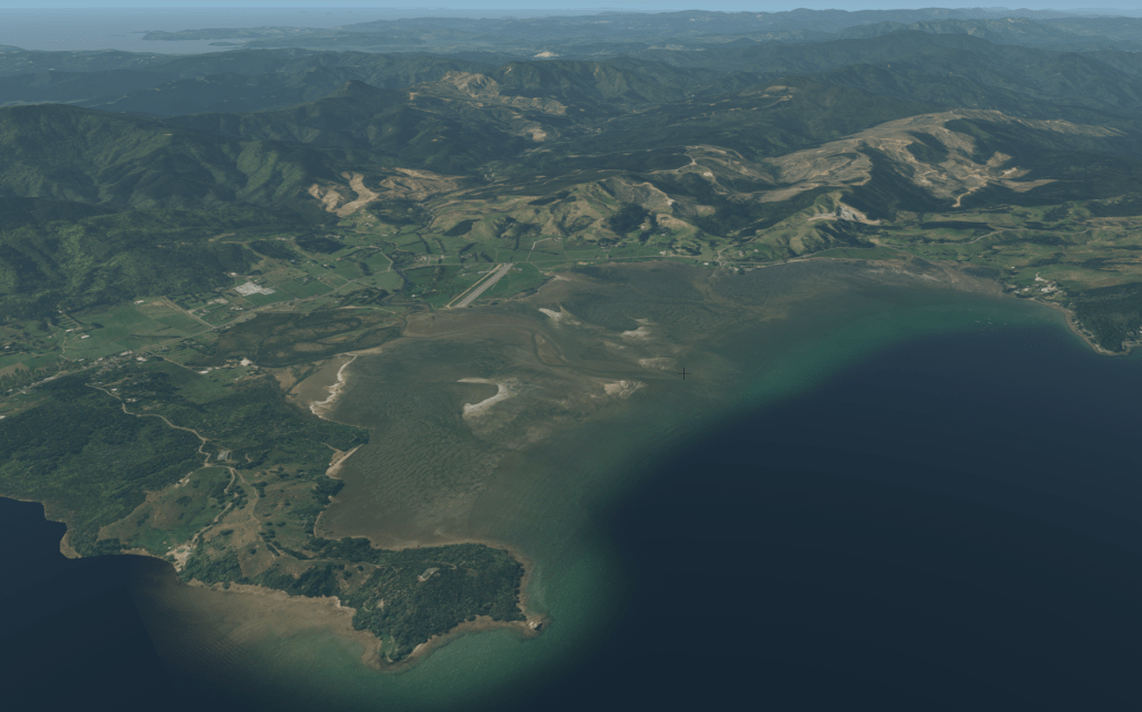
Coromandel Airstrip – After ortho is unmasked from under the water

A closer look at Coromandel Airstrip
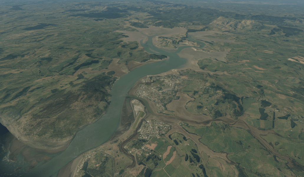
Pauanui in particular has an interesting network of boat canals that are detailed:

Here’s some newly added craggy rocks on approach to Wellington:

Finally, I’ve added in Raglan Harbour:
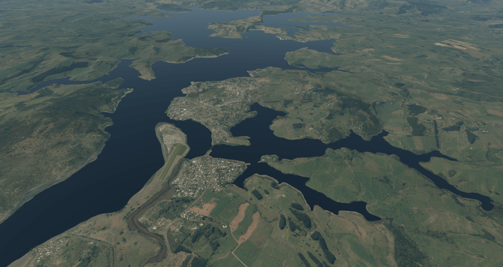
Raglan Airstrip
Raglan, now with the harbour unmasked.
I’m not going to do this for every river and harbour, as I need to check that the ortho is acceptable, so I’m focusing on the areas that have airports.
I want to make sure I cover all the best spots, so what small estuaries, harbours, or river mouths do you think need unmasking?
Categories: Flight Simulation
 New airport: NZKM Karamea
  Planting seeds
  Landing now: Lyndiman NZ Ortho 2025 is now available.
  Sounds like a good idea
This is absolutely impressive. Can’t wait for the new release.