One of the first areas I did was the Waikato and going back to it now I see lots of mistakes that were made with different sets of images. This made an ugly mosaic that wouldn’t go down well with most people. Below is a before and after shot:

after:

That said, there are some seams that still need work, here is where you cross over from the Waikato to Auckland. I’m not sure if I can be bothered fixing this though.

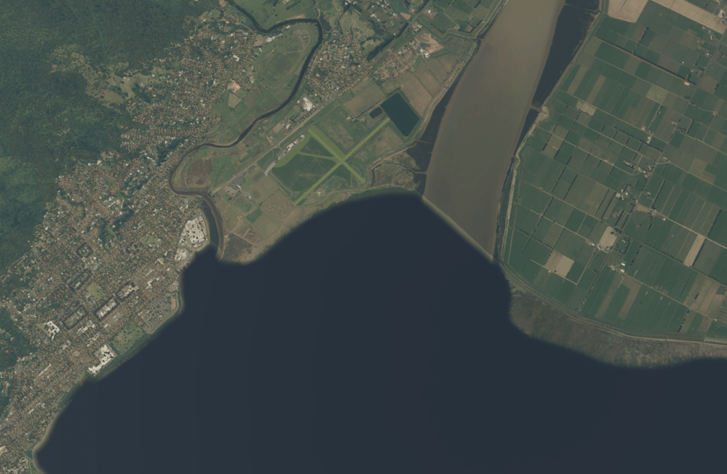
Another possible issue I’ll leave as is – the Thames is masked as it joins the Hauraki Gulf:
And to finish, some more screenshots:
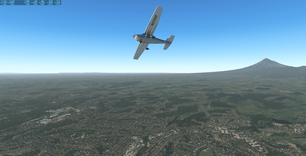
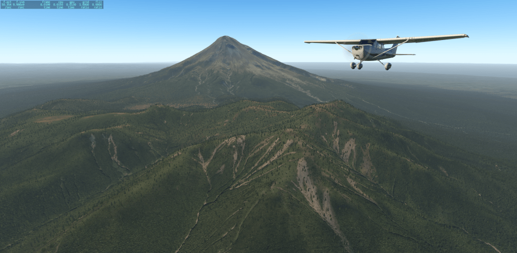
New Plymouth

Tauranga

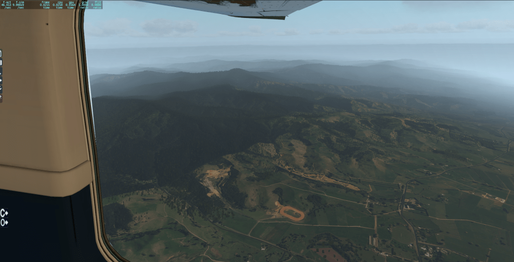
East Cape:

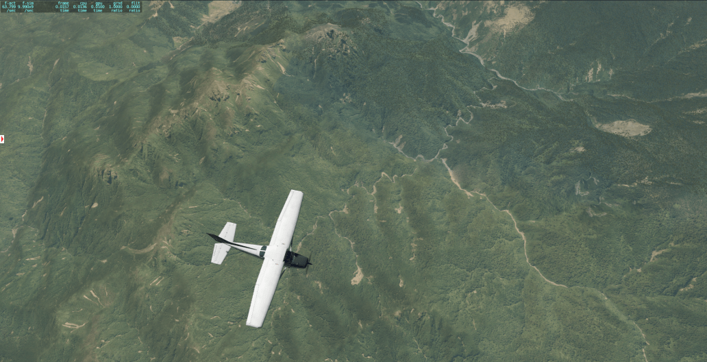

The Waikato:
Whanganui:

Up next, release plan!
Categories: Flight Simulation
 New airport: NZKM Karamea
  Planting seeds
  Landing now: Lyndiman NZ Ortho 2025 is now available.
  Sounds like a good idea
Looks incredible! I love flying around New Plymouth and it’s become my new test flight zone for all the flight Sims =)
What mesh are you using? Did you get the LINZ data or the NZ Carto survey 15m DEMs?
I’m using the ASOP 30m DEMs and it looks like I have set my (to use Ortho4XP terms) curve tolerance lower than yours as my mesh for Plymouth seems more detailed.
I’ve sourced my elevation data from NZ Pro Scenery as that was easy. I see I could get LINZ data at 8m elevation but it’s 31GB and would probably cause a framerate hit: https://data.linz.govt.nz/layer/1768-nz-8m-digital-elevation-model-2012/
Awesome ! 👍👍👍 Release it already! 😀😀
My FSEconony flights will suddenly have a new meaning!