So after a day of trying to recover the quality of LINZ aerial photos for Northland I wasn’t happy with the quality inside the sim and threw it all away. Using ArcGIS open data I recreated the tiles and set about photoshopping the clouds out.
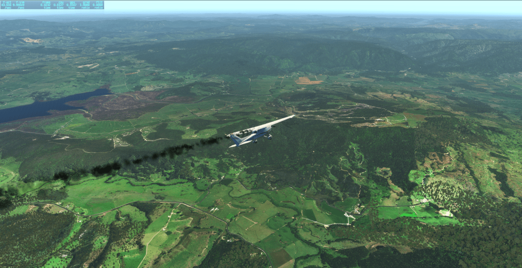
In testing this approach the photos held out a lot better than my 172 did, which appears to have suffered an engine failure.
Note: the shot below has reshade running which has over-saturated the colours.
Similar, but with no reshade: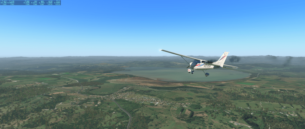
Categories: Other
 Kraken into the new XP 12 water tech 🦑
  NZNS: lording over Nelson
Bottom shot looks great.
Awesome work!