The warped imagery around milford sound has been replaced. This is what it used to look like:

Yikes, a melted valley. Not good.
Now I’ve replaced the ArcGIS imagery with some LINZ:

Looking East to Milford Sounds Airport. This valley is the final stretch of the excellent Milford Sound Great Walks hiking track.
All the nightmarish blurred imagery is now replaced with high quality photos. Next, I’ll see how far I want to take this new scenery south.
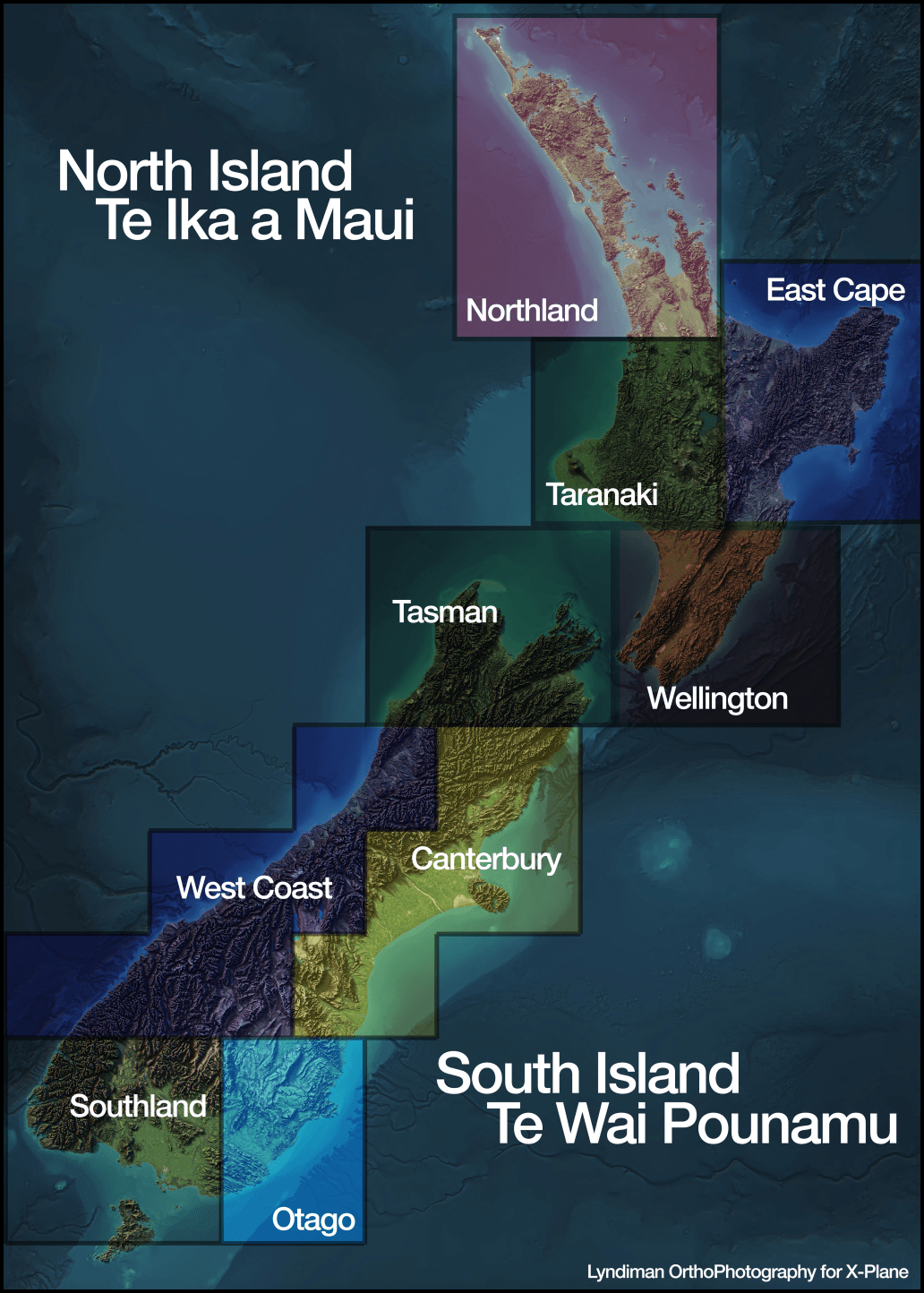
Finally, I’ve added an image to the download page showing what the areas are in each torrent file:
Categories: Flight Simulation
 New airport: NZKM Karamea
  Planting seeds
  Landing now: Lyndiman NZ Ortho 2025 is now available.
  Sounds like a good idea
This is looking better and better by the day. Youâll let us know when stuff is available to download? Cheers, Brian